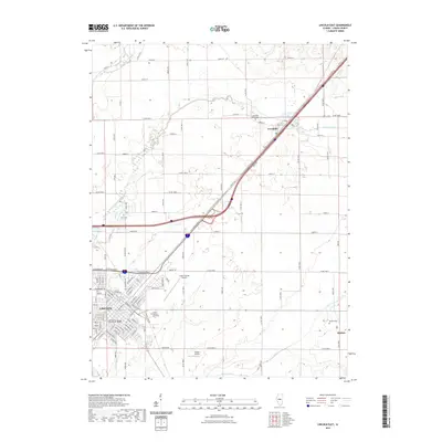
2021 Map of Lincoln East
USGS Topo · Published 2021About this map
Lincoln serves as the focal point of this Logan County landscape, where the confluence of academic life and civic history is clearly visible. The city's core is defined by the Logan County Courthouse and the nearby campuses of Lincoln College and Lincoln Christian University. To the northeast, the village of Lawndale sits along Kickapoo Creek, while the smaller settlement of Skelton and its namesake Skelton Cemetery occupy the southeastern quadrant. The transit legacy of the region is mapped through the path of Old Route 66, which runs parallel to the modern interstate corridor. Agriculture and aviation intersect near the Logan County Airport and Minder Airport, while various local watercourses like Sugar Creek and Deer Creek meander through the surrounding township sections. Rural genealogy is supported by the presence of smaller sites such as Zion Cemetery and Lawndale Union Cemetery.
Find a feature on this map
43 named features on this map. Tap any name to fly to it.
Don’t see what you’re looking for? This feature index may not catch every label — zoom into the map to look around manually.
Map Details
Editions of this 2021 Lincoln East Map
This is the sole edition of this map. No revisions or reprints were ever made.
Other maps of this area

1911 · Lincoln
USGS Topo · 1:62,500

1913 · Lincoln
USGS Topo · 1:62,500

1949 · Mc Lean
USGS Topo · 1:62,500

1951 · McLean
USGS Topo · 1:62,500

1951 · Minier
USGS Topo · 1:62,500

1957 · Kenney
USGS Topo · 1:62,500

1958 · Peoria
USGS Topo · 1:250,000

1961 · Peoria
USGS Topo · 1:250,000

1963 · Peoria
USGS Topo · 1:250,000

1980 · Armington
USGS Topo · 1:24,000