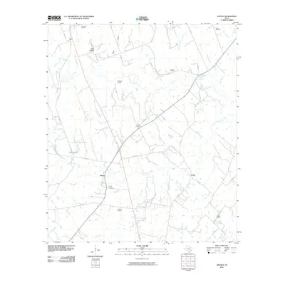
2010 Map of Lincoln
USGS Topo · Published 2010About this map
Lincoln and Doak Springs anchor this portion of Lee County, where the landscape is defined by the branching waterways of the Yegua Creek system. The confluence of Middle Yegua Creek and West Yegua Creek creates a network of riparian corridors, complemented by smaller tributaries like Blue Buck Creek and Indian Camp Branch. For those tracing local heritage, the map identifies several burial grounds including Saint Peters Cemetery, Evergreen Cemetery, and the Copperas Cemetery near Knox Lake. The terrain rises to the Buzzard Knobs in the central portion of the quadrangle, providing a notable contrast to the surrounding creek bottoms. Transportation patterns are marked by the presence of Loebau Siding in the southeast, serving the small community of Loebau and reflecting the area's rural infrastructure at the start of the decade.
Find a feature on this map
60 named features on this map. Tap any name to fly to it.
Don’t see what you’re looking for? This feature index may not catch every label — zoom into the map to look around manually.
Map Details
Editions of this 2010 Lincoln Map
This is the sole edition of this map. No revisions or reprints were ever made.
Other maps of this area

1885 · Bastrop
USGS Topo · 1:125,000

1893 · Bastrop
USGS Topo · 1:125,000

1904 · Bastrop
USGS Topo · 1:125,000

1919 · Giddings
USGS Topo · 1:62,500

1919 · Dime Box
USGS Topo · 1:62,500

1948 · Smithville
USGS Topo · 1:62,500

1948 · Lexington
USGS Topo · 1:62,500

1950 · Lexington
USGS Topo · 1:62,500

1950 · Smithville
USGS Topo · 1:62,500

1954 · Austin
USGS Topo · 1:250,000