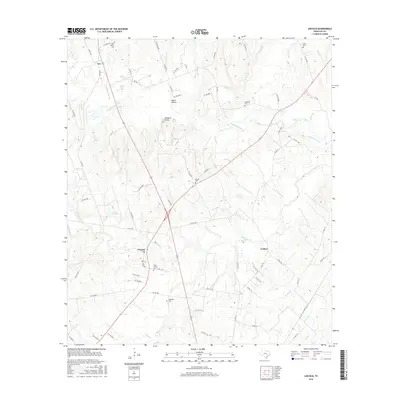
2016 Map of Lincoln
USGS Topo · Published 2016About this map
Lincoln serves as a focal point in this Lee County landscape, where rural communities are connected by a network of farm-to-market roads and cattle-guards. The geography is defined by the drainage of Yegua Creek and its many tributaries, such as Blue Buck Creek and Middle Yegua Creek, which carve through the undulating terrain of the Buzzard Knobs. This 2016 survey documents a region deeply rooted in its local heritage, evidenced by numerous small family and community burial grounds including Saint Peters Cem, Evergreen Cem, and Gloyna Cem.
Find a feature on this map
75 named features on this map. Tap any name to fly to it.
Don’t see what you’re looking for? This feature index may not catch every label — zoom into the map to look around manually.
Map Details
Editions of this 2016 Lincoln Map
This is the sole edition of this map. No revisions or reprints were ever made.
Other maps of this area

1885 · Bastrop
USGS Topo · 1:125,000

1893 · Bastrop
USGS Topo · 1:125,000

1904 · Bastrop
USGS Topo · 1:125,000

1919 · Giddings
USGS Topo · 1:62,500

1919 · Dime Box
USGS Topo · 1:62,500

1948 · Smithville
USGS Topo · 1:62,500

1948 · Lexington
USGS Topo · 1:62,500

1950 · Lexington
USGS Topo · 1:62,500

1950 · Smithville
USGS Topo · 1:62,500

1954 · Austin
USGS Topo · 1:250,000