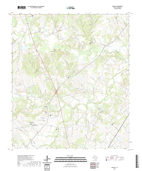
2022 Map of Lincoln
USGS Topo · Published 2022About this map
The community of Lincoln serves as a central hub in this part of Lee County, where the terrain is defined by the branching waterways of Middle Yegua Cr and W Yegua Cr. The landscape is heavily marked by its local heritage, particularly through numerous burial grounds such as Evergreen Cem and Saint Peters Cem. Further east, the settlement of Loebau is home to the Christ Lutheran Church Cem, while the small locality of Leo sits in the northern reaches near Leo Cem.
Find a feature on this map
94 named features on this map. Tap any name to fly to it.
Don’t see what you’re looking for? This feature index may not catch every label — zoom into the map to look around manually.
Map Details
Editions of this 2022 Lincoln Map
This is the sole edition of this map. No revisions or reprints were ever made.
Other maps of this area

1885 · Bastrop
USGS Topo · 1:125,000

1893 · Bastrop
USGS Topo · 1:125,000

1904 · Bastrop
USGS Topo · 1:125,000

1919 · Giddings
USGS Topo · 1:62,500

1919 · Dime Box
USGS Topo · 1:62,500

1948 · Smithville
USGS Topo · 1:62,500

1948 · Lexington
USGS Topo · 1:62,500

1950 · Lexington
USGS Topo · 1:62,500

1950 · Smithville
USGS Topo · 1:62,500

1954 · Austin
USGS Topo · 1:250,000