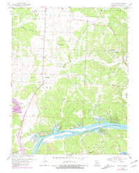
1959 Map of Lincoln SE
USGS Topo · Published 1981About this map
The Osage River dominates the lower half of this landscape, where the rising waters of the Lake of the Ozarks meet the Harry S Truman Reservoir at its normal pool. This mid-century view, updated with 1980s shoreline revisions, details a transition from the riverbottoms to the wooded uplands of Lindsey and Cole townships. The map records several rural hubs of community life that served the area's farming families, including Poplar Sch and Mt Pleasant Ch.
Find a feature on this map
35 named features on this map. Tap any name to fly to it.
Don’t see what you’re looking for? This feature index may not catch every label — zoom into the map to look around manually.
Map Details
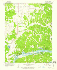
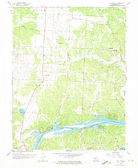
Editions of this 1959 Lincoln SE Map
3 editions found
Other maps of this area

1887 · Warsaw
USGS Topo · 1:125,000

1894 · Warsaw
USGS Topo · 1:125,000

1935 · Edwards
USGS Topo · 1:24,000

1935 · Dell
USGS Topo · 1:24,000

1936 · Shawnee Bend
USGS Topo · 1:24,000

1936 · Lakeview Heights
USGS Topo · 1:24,000

1936 · Schuyler
USGS Topo · 1:24,000

1945 · Fristoe
USGS Topo · 1:62,500

1947 · Jefferson City
USGS Topo · 1:250,000

1954 · Jefferson City
USGS Topo · 1:250,000