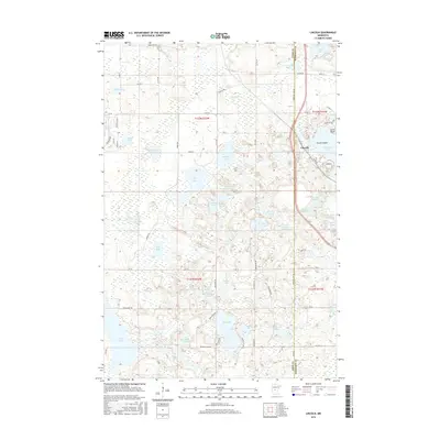
2016 Map of Lincoln
USGS Topo · Published 2016About this map
Lincoln serves as the primary community node on this Morrison County landscape, situated where the Todd Co Morrison Co line intersects a complex network of glacial lakes and wetlands. The geography is defined by a dense concentration of water bodies, including the large Fish Trap Lake with its prominent Towers Island and Lovers Point landmarks. The terrain transitions into a mosaic of smaller basins such as Rodgers Lake, Cranberry Lake, and Teal Lake, illustrating the post-glacial topography of central Minnesota.
Find a feature on this map
82 named features on this map. Tap any name to fly to it.
Don’t see what you’re looking for? This feature index may not catch every label — zoom into the map to look around manually.
Map Details
Editions of this 2016 Lincoln Map
This is the sole edition of this map. No revisions or reprints were ever made.
Other maps of this area

1948 · Cushing
USGS Topo · 1:62,500

1950 · Cushing
USGS Topo · 1:62,500

1953 · Brainerd
USGS Topo · 1:250,000

1957 · Brainerd
USGS Topo · 1:250,000

1958 · Brainerd
USGS Topo · 1:250,000
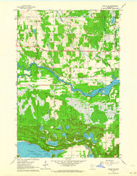
1963 · Motley SE
USGS Topo · 1:24,000

1963 · Motley
USGS Topo · 1:24,000

1965 · Brainerd
USGS Topo · 1:250,000
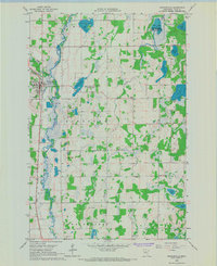
1966 · Browerville
USGS Topo · 1:24,000
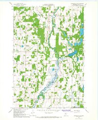
1966 · Browerville NE
USGS Topo · 1:24,000