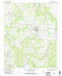
1970 Map of Lincoln
USGS Topo · Published 1983About this map
The town of Lincoln serves as the central hub of this Washington County landscape, which transitions from the waters of Lincoln Lake in the north toward the distinct elevations of Cane Hill and Dutch Mills in the south. The area’s agrarian and local history is clearly visible through a high concentration of burial grounds, including Beatty Cem, Sugar Hill Cem, and Drake Cem, which anchor the small valley settlements.
Find a feature on this map
41 named features on this map. Tap any name to fly to it.
Don’t see what you’re looking for? This feature index may not catch every label — zoom into the map to look around manually.
Map Details
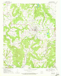
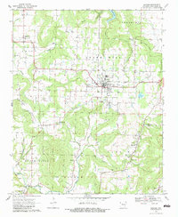
Editions of this 1970 Lincoln Map
3 editions found
Other maps of this area

1898 · Tahlequah
USGS Topo · 1:125,000

1898 · Winslow
USGS Topo · 1:125,000

1899 · Fayetteville
USGS Topo · 1:125,000

1899 · Siloam Springs
USGS Topo · 1:125,000

1901 · Winslow
USGS Topo · 1:125,000

1901 · Fayetteville
USGS Topo · 1:125,000

1901 · Tahlequah
USGS Topo · 1:125,000

1903 · Siloam Springs
USGS Topo · 1:125,000

1904 · Siloam Springs
USGS Topo · 1:125,000

1904 · Fayetteville
USGS Topo · 1:125,000