
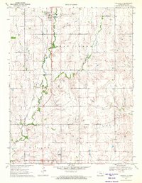
1970 Map of Lincolnville NE
USGS Topo · Published 1972About this map
Diamond Creek and its various tributaries carve through the upland pastures of the Flint Hills along the border of Marion and Chase counties. In the early 1970s, this landscape remained primarily defined by its drainage systems and agricultural sections, with notable cultural markers like Elk Cem providing vital points of reference for genealogists studying the local families. The terrain transitions from the broader valley of Middle Creek into the dissected hills of the Grant township area. Evidence of local industry is sparse but present, seen in a lone Quarry and an Oil Well located near the creek banks. The map details a network of section-line roads and creek crossings, such as those along Stribby Creek and Wildcat Creek, that served the isolated farmsteads of this rural Kansas interior.
Find a feature on this map
11 named features on this map. Tap any name to fly to it.
Don’t see what you’re looking for? This feature index may not catch every label — zoom into the map to look around manually.
Map Details
Editions of this 1970 Lincolnville NE Map
This is the sole edition of this map. No revisions or reprints were ever made.
Other maps of this area

1889 · Parkerville
USGS Topo · 1:125,000

1894 · Parkerville
USGS Topo · 1:125,000

1898 · Cottonwood Falls
USGS Topo · 1:125,000

1955 · Hutchinson
USGS Topo · 1:250,000

1957 · Elmdale
USGS Topo · 1:24,000

1957 · Cedar Point
USGS Topo · 1:24,000

1957 · Lincolnville SW
USGS Topo · 1:24,000

1957 · Hymer
USGS Topo · 1:24,000

1959 · Hutchinson
USGS Topo · 1:250,000
1971 · Lincolnville
USGS Topo · 1:24,000