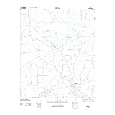
2010 Map of Lindale
USGS Topo · Published 2010About this map
The Sabine River forms the northern boundary of this landscape, where the town of Lindale serves as a primary hub. The local infrastructure is defined by a network of rural routes and historic thoroughfares like the Old Mineola Hwy and Old Dallas-Shreveport Rd. These roads connect smaller communities and landmarks such as Friendship, Mount Sinai, and Oakhurst Farm, reflecting the area's agricultural and residential development.
Find a feature on this map
75 named features on this map. Tap any name to fly to it.
Don’t see what you’re looking for? This feature index may not catch every label — zoom into the map to look around manually.
Map Details
Editions of this 2010 Lindale Map
This is the sole edition of this map. No revisions or reprints were ever made.
Other maps of this area

1948 · Tyler
USGS Topo · 1:62,500

1948 · Brownsboro
USGS Topo · 1:62,500

1949 · Tyler
USGS Topo · 1:62,500

1949 · Brownsboro
USGS Topo · 1:62,500

1956 · Tyler
USGS Topo · 1:250,000

1959 · Golden
USGS Topo · 1:24,000

1959 · Van Lake
USGS Topo · 1:24,000

1959 · Grand Saline
USGS Topo · 1:62,500

1960 · Hainesville
USGS Topo · 1:24,000

1960 · Lindale
USGS Topo · 1:24,000