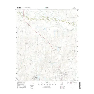
2016 Map of Lindale
USGS Topo · Published 2016About this map
Lindale sits at the southern edge of this East Texas terrain, where the headwaters of numerous creeks begin their northward descent toward the Sabine River. The landscape is defined by its water, from the established fishing and recreational waters at Lindale Club Lake and Harris Chapel Lake to the complex systems of the Stewart Lakes and Tomlin Lake. The residential expansion of Hideaway and its development around Hide-A-Way Lake Number Two contrast with the older, more rural settlements of Friendship and Mt Sinai. Genealogists and local historians will find the Flewellen Cem and Hubbard Cem preserved on this sheet, alongside historic transit routes like the Old Dallas-Shreveport Rd, which provide context for the region's movement from early pioneer trails to modern transportation corridors.
Find a feature on this map
122 named features on this map. Tap any name to fly to it.
Don’t see what you’re looking for? This feature index may not catch every label — zoom into the map to look around manually.
Map Details
Editions of this 2016 Lindale Map
This is the sole edition of this map. No revisions or reprints were ever made.
Other maps of this area

1948 · Tyler
USGS Topo · 1:62,500

1948 · Brownsboro
USGS Topo · 1:62,500

1949 · Tyler
USGS Topo · 1:62,500

1949 · Brownsboro
USGS Topo · 1:62,500

1956 · Tyler
USGS Topo · 1:250,000

1959 · Golden
USGS Topo · 1:24,000

1959 · Van Lake
USGS Topo · 1:24,000

1959 · Grand Saline
USGS Topo · 1:62,500

1960 · Hainesville
USGS Topo · 1:24,000

1960 · Lindale
USGS Topo · 1:24,000