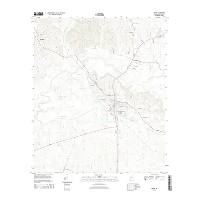
2014 Map of Linden
USGS Topo · Published 2014About this map
The Marengo County seat of Linden serves as the focal point for this 2014 survey, where the street grid is bisected by the convergence of Al-28 and Al-69. The surrounding landscape is defined by an intricate network of waterways, including Chickasaw Bogue and its numerous tributaries such as Threemile Cr and Sycamore Cr. To the north and west, the terrain rises toward Grant Hill near the settlement of Pin Hook. Local land ownership and management are reflected in several named private water bodies, most notably Doctor Max McCord Junior Lake, Owensby Lake Number One, and Paul S Owensby Lake Number Two. These features, along with the Providence Cem near the community of Providence, illustrate the persistent intersection of family legacy and the Black Belt's geography in the early twenty-first century.
Find a feature on this map
62 named features on this map. Tap any name to fly to it.
Don’t see what you’re looking for? This feature index may not catch every label — zoom into the map to look around manually.
Map Details
Editions of this 2014 Linden Map
This is the sole edition of this map. No revisions or reprints were ever made.
Other maps of this area

1953 · Montgomery
USGS Topo · 1:250,000

1956 · Montgomery
USGS Topo · 1:250,000

1957 · Montgomery
USGS Topo · 1:250,000

1968 · Thomaston West
USGS Topo · 1:24,000

1968 · Gallion
USGS Topo · 1:24,000

1970 · Myrtlewood North
USGS Topo · 1:24,000
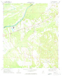
1970 · Jefferson
USGS Topo · 1:24,000

1970 · Old Spring Hill
USGS Topo · 1:24,000

1970 · Linden
USGS Topo · 1:24,000
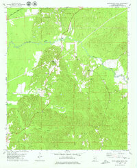
1978 · Myrtlewood South
USGS Topo · 1:24,000