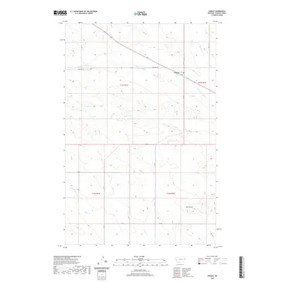
2020 Map of Lindsay
USGS Topo · Published 2020About this map
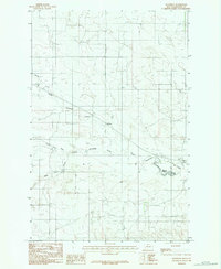
Lindsay serves as the central point of reference in this contemporary survey of Dawson County, Montana. The landscape is defined by an intricate network of seasonal watercourses and coulees, including the branching reaches of Upper Sevenmile Cr and the winding Timber Fork. These drainages carve through the high plains, illustrating the erosion patterns characteristic of the region. Transportation in this section of the county relies on a grid of rural routes such as RD 223 and RD 230, which intersect with State Hwy 467 as it passes through the small settlement. To the southeast, Wolf Coulee provides a distinct topographical break from the surrounding plateau, while numerous smaller streams like Cigar Cr and Clear Cr further divide the township lines of T17N and T16N.
Find a feature on this map
18 named features on this map. Tap any name to fly to it.
Don’t see what you’re looking for? This feature index may not catch every label — zoom into the map to look around manually.
Map Details
Editions of this 2020 Lindsay Map
This is the sole edition of this map. No revisions or reprints were ever made.
Other maps of this area

1954 · Glendive
USGS Topo · 1:250,000

1957 · Glendive
USGS Topo · 1:250,000

1958 · Glendive
USGS Topo · 1:250,000

1982 · Circle
USGS Topo · 1:100,000
1983 · Union School
USGS Topo · 1:24,000
1983 · Johnson Reservoir
USGS Topo · 1:24,000
1983 · Lindsay SW
USGS Topo · 1:24,000

1983 · Olson Coulee South
USGS Topo · 1:24,000
1983 · Woodrow
USGS Topo · 1:24,000

1983 · Deer Creek Church
USGS Topo · 1:24,000