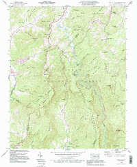
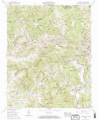
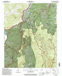
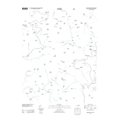
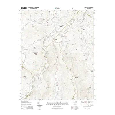
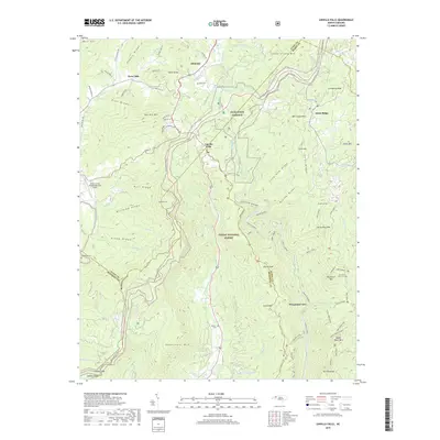
1994 Map of Linville Falls
USGS Topo · Published 1996About this map
Linville River carves a deep path through the center of this landscape, defining the boundaries of the Pisgah National Forest and the Linville Gorge Wilderness Area. The terrain is characterized by the prominent Jonas Ridge and the Tennessee Valley Divide, which separates the high country drainage of the Toe River from the Linville Gorge system. Notable community landmarks such as Linville Caverns and the Linville Falls themselves reflect the area's significance as a destination for those navigating the Blue Ridge Parkway.
Find a feature on this map
72 named features on this map. Tap any name to fly to it.
Don’t see what you’re looking for? This feature index may not catch every label — zoom into the map to look around manually.
Map Details
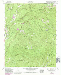
Editions of this 1994 Linville Falls Map
2 editions found
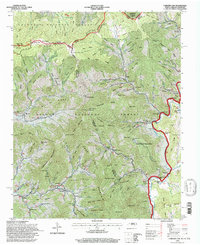
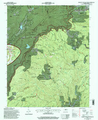
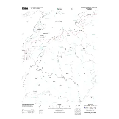
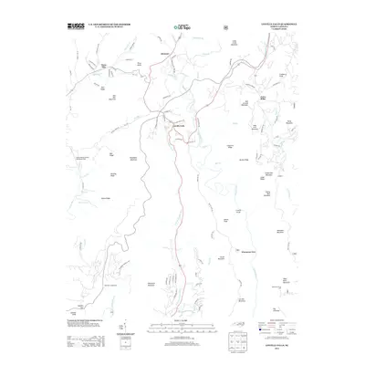
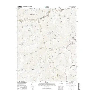
Historical Maps of Spruce Pine Through Time
25 maps found
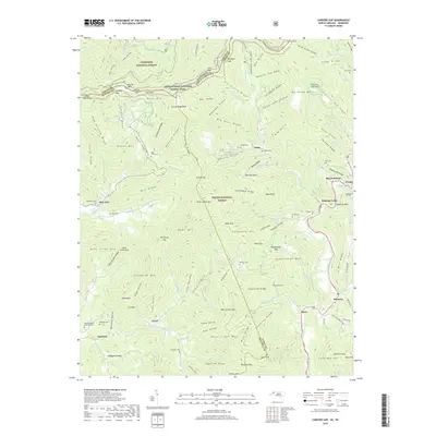
1934 Carvers Gap
Avery County, NC

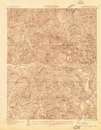
1934 Linville Falls
Avery County, NC

1935 Doe Mountain
Avery County, NC
1955 Carvers Gap
Avery County, NC
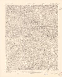
1956 Linville Falls
Avery County, NC
1960 Carvers Gap
Avery County, NC
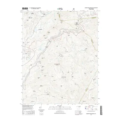
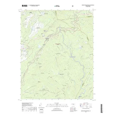
1960 Grandfather Mountain
Avery County, NC
1994 Carvers Gap
Avery County, NC
1994 Grandfather Mountain
Avery County, NC
1994 Linville Falls
Avery County, NC
2011 Carvers Gap
Avery County, NC
2011 Grandfather Mountain
Avery County, NC
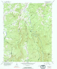
2011 Linville Falls
Avery County, NC
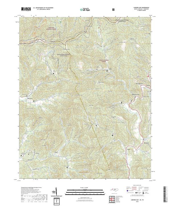
2013 Carvers Gap
Avery County, NC
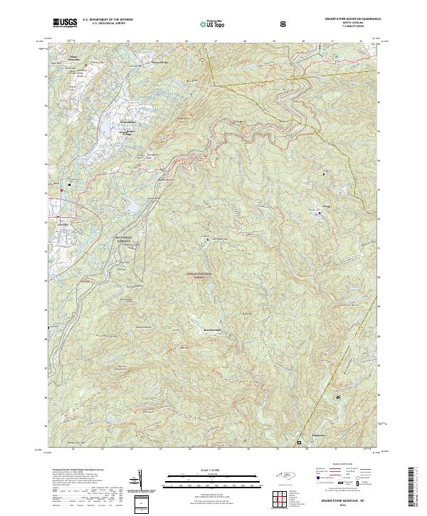
2013 Grandfather Mountain
Avery County, NC
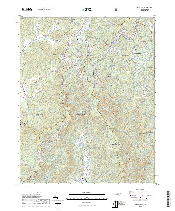
2013 Linville Falls
Avery County, NC
2016 Carvers Gap
Avery County, NC
2016 Grandfather Mountain
Avery County, NC
2016 Linville Falls
Avery County, NC
2019 Carvers Gap
Avery County, NC
2019 Grandfather Mountain
Avery County, NC
2019 Linville Falls
Avery County, NC
2022 Carvers Gap
Avery County, NC
2022 Grandfather Mountain
Avery County, NC
2022 Linville Falls
Avery County, NC