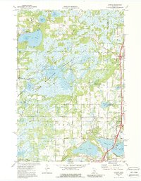
1974 Map of Linwood
USGS Topo · Published 1988About this map
The Carlos Avery State Wildlife Management Area dominates the central portion of this 1970s landscape, illustrating the intentional preservation of wetland and marsh habitats in Anoka and Chisago counties. This region is defined by its complex hydrography, featuring major bodies like Linwood Lake and Howard Lake alongside an intricate network of smaller ponds and marshes. Local community life is rooted in settlements like Linwood and Wyoming, supported by essential institutions including Linwood Sch and Crossroads Ch.
Find a feature on this map
44 named features on this map. Tap any name to fly to it.
Don’t see what you’re looking for? This feature index may not catch every label — zoom into the map to look around manually.
Map Details
Editions of this 1974 Linwood Map
3 editions found
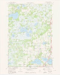
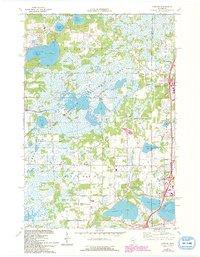
Other maps of this area

1902 · White Bear
USGS Topo · 1:62,500

1948 · Stillwater
USGS Topo · 1:62,500

1949 · Stillwater
USGS Topo · 1:62,500

1952 · Centerville
USGS Topo · 1:24,000

1953 · Stillwater
USGS Topo · 1:250,000

1954 · Hugo
USGS Topo · 1:24,000

1955 · Circle Pines
USGS Topo · 1:24,000

1955 · Forest Lake
USGS Topo · 1:62,500

1955 · Isanti
USGS Topo · 1:62,500
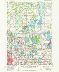
1955 · New Brighton
USGS Topo · 1:62,500