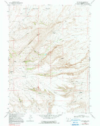
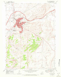
1968 Map of Lion Bluffs
USGS Topo · Published 1991About this map
Quaking Asp Mountain dominates the western skyline of this landscape, rising sharply from the South Baxter Basin. The topography is defined by significant elevation changes, ranging from the prominent Lion Bluffs to the sheltered Dolly Meadow. This 1968 survey reveals an area primarily utilized for energy resource extraction and high-altitude recreation. Numerous Gas Wells and scattered Drill Holes indicate the active development of the local gas fields during this era.
Find a feature on this map
19 named features on this map. Tap any name to fly to it.
Don’t see what you’re looking for? This feature index may not catch every label — zoom into the map to look around manually.
Map Details
Editions of this 1968 Lion Bluffs Map
2 editions found
Other maps of this area

1908 · Rock Springs
USGS Topo · 1:62,500

1910 · Rock Springs
USGS Topo · 1:62,500

1954 · Rock Springs
USGS Topo · 1:250,000

1958 · Rock Springs
USGS Topo · 1:250,000

1962 · Rock Springs
USGS Topo · 1:250,000

1968 · Point Of Rocks SW
USGS Topo · 1:24,000

1968 · Mud Springs Ranch
USGS Topo · 1:24,000
1968 · South Baxter
USGS Topo · 1:24,000
1968 · Earnest Butte
USGS Topo · 1:24,000
1968 · Rock Springs
USGS Topo · 1:24,000