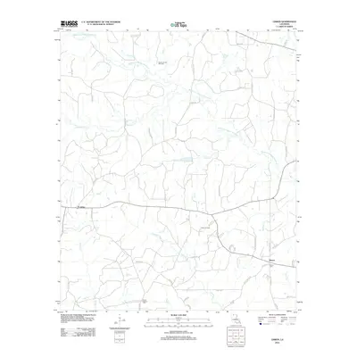
2012 Map of Lisbon
USGS Topo · Published 2012About this map
Lisbon and the smaller settlement of Sharon anchor this area of Claiborne Parish, defined by a landscape of creek drainages and industrial infrastructure. The complex network of the Middle Fork Bayou D'Arbonne and its tributaries, including Panther Cr, McCasland Cr, and Fivemile Cr, dictates the placement of the rural road system. Resource extraction is a primary feature of the local economy and land use, evidenced by the Panther Creek Gas Field and the Lisbon Oil Field, as well as specialized infrastructure like Salt Water Plant Rd and Texas Gas Rd. Genealogists will find the Mount Pleasant Cemetery and Sharon Cemetery clearly marked, offering precise locations for historical research. The presence of the Po (Post Office) in Lisbon marks it as the primary hub of this corner of Louisiana during the early 21st century.
Find a feature on this map
61 named features on this map. Tap any name to fly to it.
Don’t see what you’re looking for? This feature index may not catch every label — zoom into the map to look around manually.
Map Details
Editions of this 2012 Lisbon Map
This is the sole edition of this map. No revisions or reprints were ever made.
Other maps of this area

1950 · Ruston
USGS Topo · 1:62,500

1950 · Arcadia
USGS Topo · 1:62,500

1951 · Arcadia
USGS Topo · 1:62,500

1951 · Ruston
USGS Topo · 1:62,500

1951 · Summerfield
USGS Topo · 1:62,500

1951 · Bernice
USGS Topo · 1:62,500

1955 · Shreveport
USGS Topo · 1:250,000

1956 · Shreveport
USGS Topo · 1:250,000

1984 · Shreveport
USGS Topo · 1:250,000

1985 · Monroe North
USGS Topo · 1:100,000