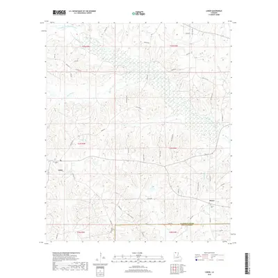
2018 Map of Lisbon
USGS Topo · Published 2018About this map
Lisbon and the neighboring settlement of Sharon anchor this landscape along the border of Claiborne and Lincoln Parishes. The area is defined by the complex drainage network of the Middle Fork Bayou D'Arbonne, which receives numerous tributaries including Fivemile Creek, Bear Creek, and McCasland Creek. These waterways carve through the terrain, creating a pattern of ridges and lowlands that has historically dictated the placement of roads and homesteads.
Find a feature on this map
58 named features on this map. Tap any name to fly to it.
Don’t see what you’re looking for? This feature index may not catch every label — zoom into the map to look around manually.
Map Details
Editions of this 2018 Lisbon Map
This is the sole edition of this map. No revisions or reprints were ever made.
Other maps of this area

1950 · Ruston
USGS Topo · 1:62,500

1950 · Arcadia
USGS Topo · 1:62,500

1951 · Arcadia
USGS Topo · 1:62,500

1951 · Ruston
USGS Topo · 1:62,500

1951 · Summerfield
USGS Topo · 1:62,500

1951 · Bernice
USGS Topo · 1:62,500

1955 · Shreveport
USGS Topo · 1:250,000

1956 · Shreveport
USGS Topo · 1:250,000

1984 · Shreveport
USGS Topo · 1:250,000

1985 · Monroe North
USGS Topo · 1:100,000