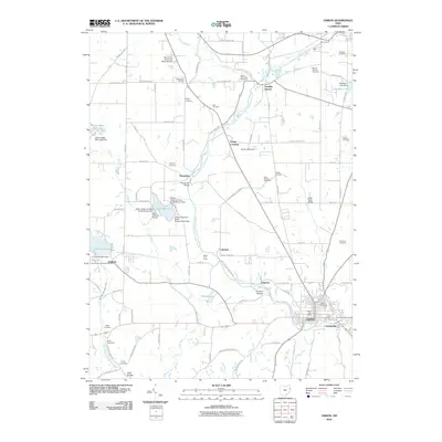
2010 Map of Lisbon
USGS Topo · Published 2010About this map
The town of Lisbon sits at the confluence of several branches of the Little Beaver Creek, serving as a hub for both transportation and regional history in the early 21st century. The landscape is marked by its numerous burial grounds, such as Mount Calvary Cemetery and Saint Jacobs Cemetery, which provide significant genealogical touchpoints for the area. Local infrastructure includes the Salem Lakefront Airport and the Kent State University Salem Branch, illustrating the mix of educational and transit facilities serving the community.
Find a feature on this map
97 named features on this map. Tap any name to fly to it.
Don’t see what you’re looking for? This feature index may not catch every label — zoom into the map to look around manually.
Map Details
Editions of this 2010 Lisbon Map
This is the sole edition of this map. No revisions or reprints were ever made.
Other maps of this area

1904 · Wellsville
USGS Topo · 1:62,500

1905 · Salineville
USGS Topo · 1:62,500

1907 · Columbiana
USGS Topo · 1:62,500

1909 · Lisbon
USGS Topo · 1:62,500

1909 · Columbiana
USGS Topo · 1:62,500

1937 · Wellsville
USGS Topo · 1:62,500

1944 · Wellsville
USGS Topo · 1:62,500

1951 · Canton
USGS Topo · 1:250,000

1951 · Columbiana
USGS Topo · 1:24,000

1952 · Damascus
USGS Topo · 1:24,000