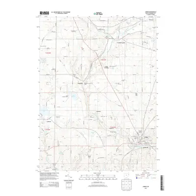
2013 Map of Lisbon
USGS Topo · Published 2013About this map
The town of Lisbon, established along the Middle Fork Little Beaver Creek, serves as a focal point for this eastern Ohio survey. The landscape is defined by the winding valley of the creek and its tributaries like Cold Run and Stone Mill Run. To the north, the Kent State Univ Salem Campus and Salem Lakefront Airport indicate modern development, while the numerous small burial grounds such as Saint Jacobs Cem and English Cem speak to the deep-rooted family history of the surrounding townships.
Find a feature on this map
122 named features on this map. Tap any name to fly to it.
Don’t see what you’re looking for? This feature index may not catch every label — zoom into the map to look around manually.
Map Details
Editions of this 2013 Lisbon Map
This is the sole edition of this map. No revisions or reprints were ever made.
Other maps of this area

1904 · Wellsville
USGS Topo · 1:62,500

1905 · Salineville
USGS Topo · 1:62,500

1907 · Columbiana
USGS Topo · 1:62,500

1909 · Lisbon
USGS Topo · 1:62,500

1909 · Columbiana
USGS Topo · 1:62,500

1937 · Wellsville
USGS Topo · 1:62,500

1944 · Wellsville
USGS Topo · 1:62,500

1951 · Canton
USGS Topo · 1:250,000

1951 · Columbiana
USGS Topo · 1:24,000

1952 · Damascus
USGS Topo · 1:24,000