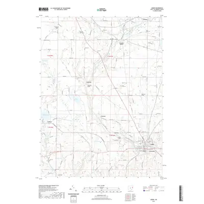
2019 Map of Lisbon
USGS Topo · Published 2019About this map
Lisbon serves as a prominent focal point in this portion of Columbiana County, anchored by the Columbiana County Courthouse and a dense network of streets including E Lincoln Way. The landscape is defined by the winding course of the Middle Fork Little Beaver Creek, which flows past several small settlements such as Leetonia, Franklin Square, and Teegarden. This water system supported historical industry, evidenced by the presence of Stone Mill Run and the secluded Furnace Hollow located near Logtown.
Find a feature on this map
127 named features on this map. Tap any name to fly to it.
Don’t see what you’re looking for? This feature index may not catch every label — zoom into the map to look around manually.
Map Details
Editions of this 2019 Lisbon Map
This is the sole edition of this map. No revisions or reprints were ever made.
Other maps of this area

1904 · Wellsville
USGS Topo · 1:62,500

1905 · Salineville
USGS Topo · 1:62,500

1907 · Columbiana
USGS Topo · 1:62,500

1909 · Lisbon
USGS Topo · 1:62,500

1909 · Columbiana
USGS Topo · 1:62,500

1937 · Wellsville
USGS Topo · 1:62,500

1944 · Wellsville
USGS Topo · 1:62,500

1951 · Canton
USGS Topo · 1:250,000

1951 · Columbiana
USGS Topo · 1:24,000

1952 · Damascus
USGS Topo · 1:24,000