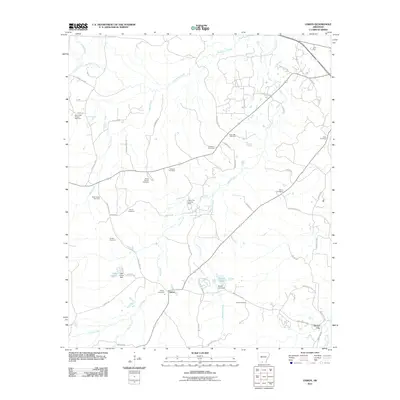
2011 Map of Lisbon
USGS Topo · Published 2011About this map
Lisbon and Dumas City anchor this portion of Union County, reflecting a landscape defined by natural resource extraction and small-town rural centers. The area is heavily marked by the petroleum industry, specifically the Lisbon Oil and Gas Field and the Bear Creek Oil and Gas Field, which are interspersed with numerous small burial grounds and family-named landmarks. The topography is shaped by a dense network of waterways, including Smackover Creek, Bear Creek, and Richland Creek, which drain the forested terrain near Sugarland.
Find a feature on this map
61 named features on this map. Tap any name to fly to it.
Don’t see what you’re looking for? This feature index may not catch every label — zoom into the map to look around manually.
Map Details
Editions of this 2011 Lisbon Map
This is the sole edition of this map. No revisions or reprints were ever made.
Other maps of this area

1927 · El Dorado
USGS Topo · 1:62,500

1930 · El Dorado
USGS Topo · 1:62,500

1951 · El Dorado
USGS Topo · 1:62,500

1953 · El Dorado
USGS Topo · 1:250,000

1957 · El Dorado
USGS Topo · 1:250,000

1958 · El Dorado
USGS Topo · 1:250,000

1960 · El Dorado
USGS Topo · 1:250,000

1962 · Lisbon
USGS Topo · 1:24,000

1962 · Louann
USGS Topo · 1:24,000

1962 · Buena Vista
USGS Topo · 1:24,000