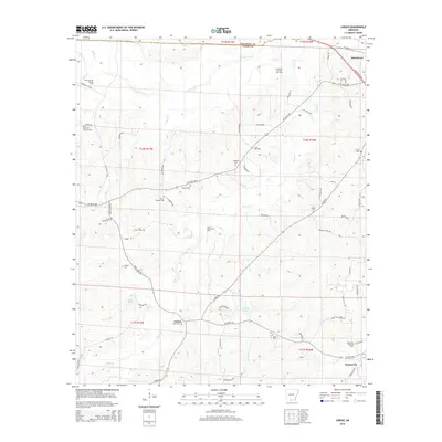
2014 Map of Lisbon
USGS Topo · Published 2014About this map
Industrial energy production and rural heritage define this section of South Arkansas along the Ouachita and Union County line. The landscape is heavily marked by extractive history, featuring the Pace City Oil and Gas Field, Smackover Oil and Gas Field, and the central Lisbon Oil and Gas Field. These industrial zones sit adjacent to long-established family and community landmarks, such as the Scott Young Cem, Hicks Cem, and Anderson Cem.
Find a feature on this map
71 named features on this map. Tap any name to fly to it.
Don’t see what you’re looking for? This feature index may not catch every label — zoom into the map to look around manually.
Map Details
Editions of this 2014 Lisbon Map
This is the sole edition of this map. No revisions or reprints were ever made.
Other maps of this area

1927 · El Dorado
USGS Topo · 1:62,500

1930 · El Dorado
USGS Topo · 1:62,500

1951 · El Dorado
USGS Topo · 1:62,500

1953 · El Dorado
USGS Topo · 1:250,000

1957 · El Dorado
USGS Topo · 1:250,000

1958 · El Dorado
USGS Topo · 1:250,000

1960 · El Dorado
USGS Topo · 1:250,000

1962 · Lisbon
USGS Topo · 1:24,000

1962 · Louann
USGS Topo · 1:24,000

1962 · Buena Vista
USGS Topo · 1:24,000