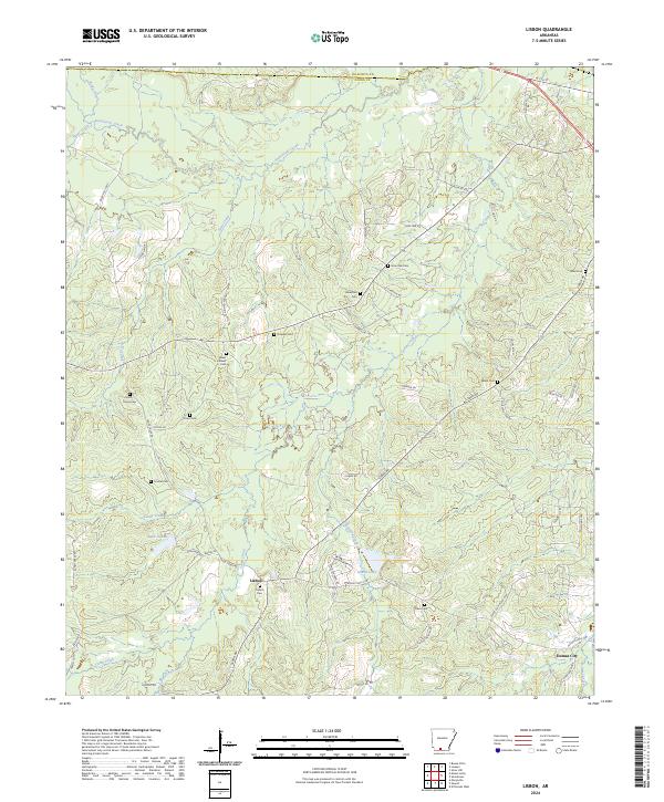
2024 Map of Lisbon
USGS Topo · Published 2024About this map
Smackover Creek and its southern tributaries define this Union County landscape, where the small community of Lisbon stands as a focal point of local history. The area is marked by a high density of family and community burial grounds, including the Scott-Young Cem, Yocum Cem, and Sweet Canaan Cem, providing a detailed record for genealogical research. Water features like Lake Lisbon and Sowell Lake punctuate the wooded terrain, while the northern border follows the line between Ouachita and Union counties.
Find a feature on this map
63 named features on this map. Tap any name to fly to it.
Don’t see what you’re looking for? This feature index may not catch every label — zoom into the map to look around manually.
Map Details
Editions of this 2024 Lisbon Map
This is the sole edition of this map. No revisions or reprints were ever made.
Other maps of this area

1927 · El Dorado
USGS Topo · 1:62,500

1930 · El Dorado
USGS Topo · 1:62,500

1951 · El Dorado
USGS Topo · 1:62,500

1953 · El Dorado
USGS Topo · 1:250,000

1957 · El Dorado
USGS Topo · 1:250,000

1958 · El Dorado
USGS Topo · 1:250,000

1960 · El Dorado
USGS Topo · 1:250,000

1962 · Lisbon
USGS Topo · 1:24,000

1962 · Louann
USGS Topo · 1:24,000

1962 · Buena Vista
USGS Topo · 1:24,000