
1967 Map of Litchfield South
USGS Topo · Published 1968About this map
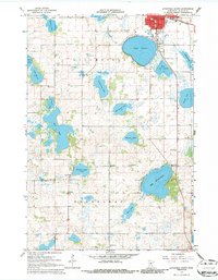
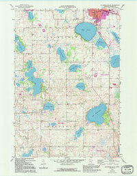
The town of Litchfield serves as the northern anchor of this landscape, situated at the intersection of the Great Northern railroad and a dense cluster of glacial water bodies. The terrain is defined by a heavy concentration of lakes, including the expansive Lake Minnie-Belle and Lake Ripley, which likely dictated the winding rural road patterns and settlement locations in Litchfield and Greenleaf townships. The map records a well-distributed network of local educational and religious centers, such as Ness Ch, Evenson Sch, and Manning Sch, reflecting a late-1960s rural community structure where small school districts and country churches remained prominent landmarks.
Find a feature on this map
36 named features on this map. Tap any name to fly to it.
Don’t see what you’re looking for? This feature index may not catch every label — zoom into the map to look around manually.
Map Details
Editions of this 1967 Litchfield South Map
3 editions found
Other maps of this area

1953 · New Ulm
USGS Topo · 1:250,000

1953 · Saint Cloud
USGS Topo · 1:250,000

1957 · Saint Cloud
USGS Topo · 1:250,000

1957 · New Ulm
USGS Topo · 1:250,000

1958 · New Ulm
USGS Topo · 1:250,000

1958 · Saint Cloud
USGS Topo · 1:250,000

1958 · Dassel
USGS Topo · 1:62,500

1958 · Hutchinson
USGS Topo · 1:62,500

1967 · New Ulm
USGS Topo · 1:250,000

1967 · Grove City
USGS Topo · 1:24,000