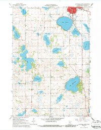
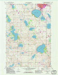
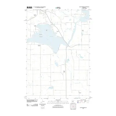
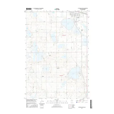
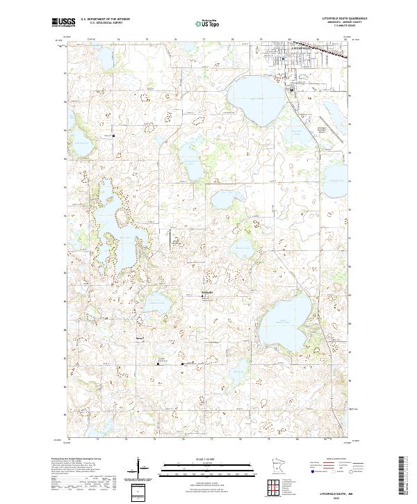
1967 Map of Litchfield South
USGS Topo · Published 1986About this map
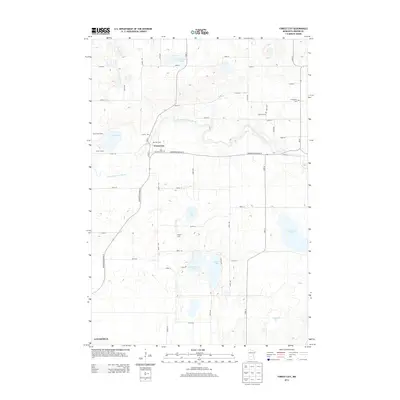
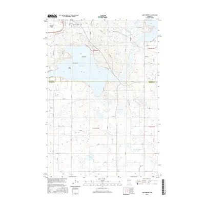
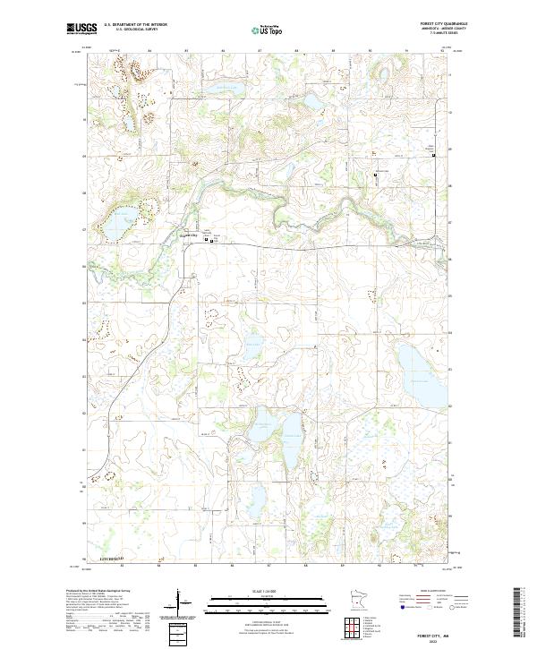
The Great Northern railroad corridor anchors the northern edge of this central Minnesota landscape, where the town of Litchfield serves as a regional hub. South of the tracks, the terrain is defined by a dense concentration of glacial lakes and wetlands, including the prominent waters of Lake Ripley, Star Lake, and Lake Minnie-Belle. This mid-century survey documents the rural social fabric of Meeker County through its network of district schools and country churches. Local history is preserved in the location of the Ness Ch and numerous small educational centers like School No 1122 and Evenson Sch. Small farming settlements such as Beckville and Strout sit amidst the agricultural grid, while the presence of several Gravel Pits suggests the localized extraction industry supporting the area's infrastructure during this era.
Find a feature on this map
38 named features on this map. Tap any name to fly to it.
Don’t see what you’re looking for? This feature index may not catch every label — zoom into the map to look around manually.
Map Details
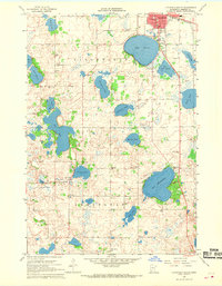
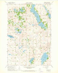
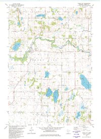
Editions of this 1967 Litchfield South Map
3 editions found
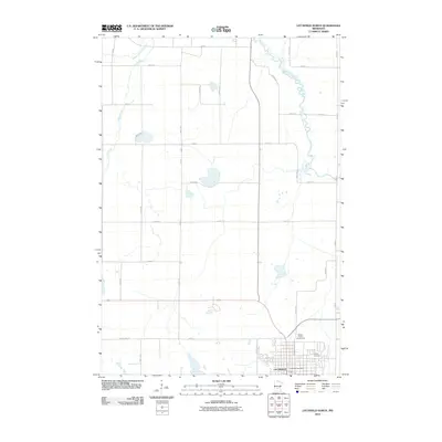
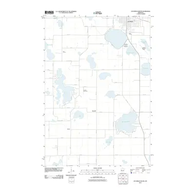
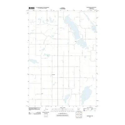
Historical Maps of Litchfield Through Time
30 maps found
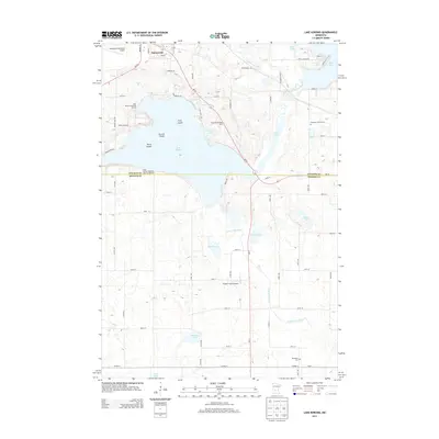
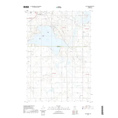
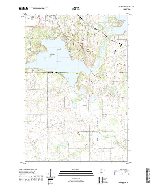
1967 Lake Koronis
Meeker County, MN
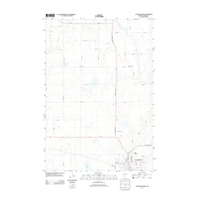
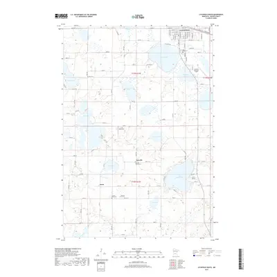
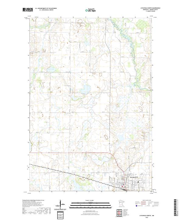
1967 Litchfield North
Meeker County, MN
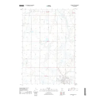
1967 Litchfield South
Meeker County, MN
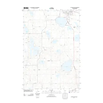
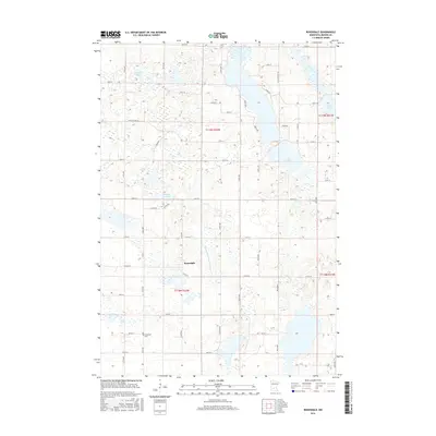
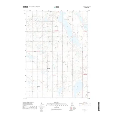
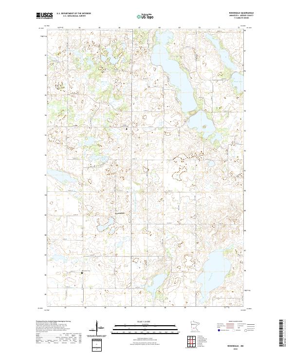
1967 Rosendale
Meeker County, MN
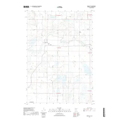
1982 Forest City
Meeker County, MN
2010 Forest City
Meeker County, MN
2010 Lake Koronis
Meeker County, MN
2010 Litchfield North
Meeker County, MN
2010 Litchfield South
Meeker County, MN
2010 Rosendale
Meeker County, MN
2013 Forest City
Meeker County, MN
2013 Lake Koronis
Meeker County, MN
2013 Litchfield North
Meeker County, MN
2013 Litchfield South
Meeker County, MN
2013 Rosendale
Meeker County, MN
2016 Forest City
Meeker County, MN
2016 Lake Koronis
Meeker County, MN
2016 Litchfield North
Meeker County, MN
2016 Litchfield South
Meeker County, MN
2016 Rosendale
Meeker County, MN
2019 Forest City
Meeker County, MN
2019 Lake Koronis
Meeker County, MN
2019 Litchfield North
Meeker County, MN
2019 Litchfield South
Meeker County, MN
2019 Rosendale
Meeker County, MN
2022 Forest City
Meeker County, MN
2022 Lake Koronis
Meeker County, MN
2022 Litchfield North
Meeker County, MN
2022 Litchfield South
Meeker County, MN
2022 Rosendale
Meeker County, MN