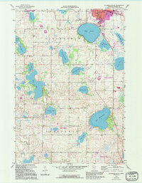
1967 Map of Litchfield South
USGS Topo · Published 1995About this map
The city of Litchfield anchors the northern edge of this central Minnesota landscape, where the prairie begins to transition into a dense network of glacial lakes. In the late 1960s, the area's rural character was defined by small schoolhouses like Longfellow Sch and School No 1079, alongside scattered religious centers such as Ness Ch. The map captures the small hamlets of Beckville and Strout, which served as local focal points for the surrounding agricultural community.
Find a feature on this map
38 named features on this map. Tap any name to fly to it.
Don’t see what you’re looking for? This feature index may not catch every label — zoom into the map to look around manually.
Map Details
Editions of this 1967 Litchfield South Map
3 editions found

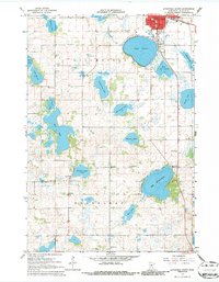
Other maps of this area

1953 · New Ulm
USGS Topo · 1:250,000

1953 · Saint Cloud
USGS Topo · 1:250,000

1957 · Saint Cloud
USGS Topo · 1:250,000

1957 · New Ulm
USGS Topo · 1:250,000

1958 · New Ulm
USGS Topo · 1:250,000

1958 · Saint Cloud
USGS Topo · 1:250,000

1958 · Dassel
USGS Topo · 1:62,500

1958 · Hutchinson
USGS Topo · 1:62,500

1967 · New Ulm
USGS Topo · 1:250,000

1967 · Grove City
USGS Topo · 1:24,000