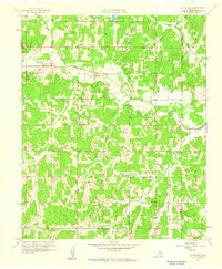
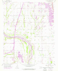
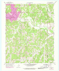
1958 Map of Little Axe
USGS Topo · Published 1959This historical map portrays the area of Little Axe in 1958, primarily covering Cleveland County as well as portions of Pottawatomie County. Featuring a scale of 1:24000, this map provides a highly detailed snapshot of the terrain, roads, buildings, counties, and historical landmarks in the Little Axe region at the time. Published in 1959, it is one of 5 known editions of this map due to revisions or reprints.
Find a feature on this map
24 named features on this map. Tap any name to fly to it.
Don’t see what you’re looking for? This feature index may not catch every label — zoom into the map to look around manually.
Map Details
Editions of this 1958 Little Axe Map
5 editions found

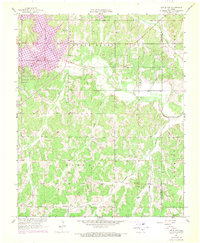
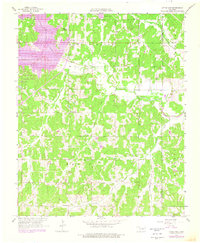
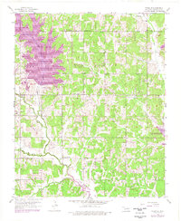
Historical Maps of Needmore Through Time
9 maps found

1925 Norman NO 2
Cleveland County, OK
1956 Franklin
Cleveland County, OK
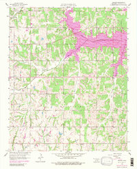
1956 Oklahoma City SE
Cleveland County, OK
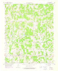
1956 Stella
Cleveland County, OK
1958 Denver
Cleveland County, OK
1958 Eason
Cleveland County, OK
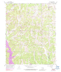
1958 Little Axe
Cleveland County, OK
1985 Oklahoma City South
Cleveland County, OK
1986 Oklahoma City SE
Cleveland County, OK