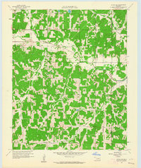
1958 Map of Little Axe
USGS Topo · Published 1964About this map
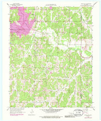
The Little River valley in Cleveland County dominates this 1958 survey, showing a landscape defined by its riparian drainage and early rural development. Small, scattered settlements like Little Axe and Needmore represent the social hubs of the era, supported by local institutions such as Little Jim Mission and Bennett Ch. The terrain is characterized by a dense network of tributaries including Hog Creek, Spring Creek, and Bourbonais Creek, which carve through the Oklahoma countryside. Evidence of the region's industrial footprint is visible through scattered Oil Wells and a designated Oil Field, while a Gaging Station on the river indicates the importance of water management to the City of Oklahoma City Department of Public Works. Genealogists can find specific burial sites at Bethel Cem and other marked cemeteries, providing primary source locations for family history research along the border with Pottawatomie County.
Find a feature on this map
20 named features on this map. Tap any name to fly to it.
Don’t see what you’re looking for? This feature index may not catch every label — zoom into the map to look around manually.
Map Details
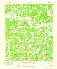
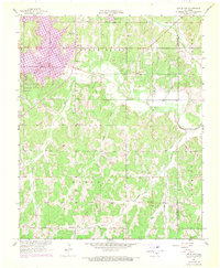
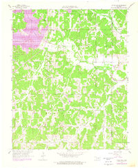
Editions of this 1958 Little Axe Map
5 editions found
Other maps of this area

1892 · Moore
USGS Topo · 1:62,500

1893 · Norman
USGS Topo · 1:62,500

1898 · Purcell
USGS Topo · 1:125,000

1910 · McComb
USGS Topo · 1:62,500

1930 · McLoud
USGS Topo · 1:62,500

1934 · Moore
USGS Topo · 1:62,500

1936 · Norman
USGS Topo · 1:62,500

1938 · Moore
USGS Topo · 1:62,500

1954 · Oklahoma City
USGS Topo · 1:250,000
1956 · Franklin
USGS Topo · 1:24,000