
1950 Map of Little Black Peak
USGS Topo · Published 1954About this map
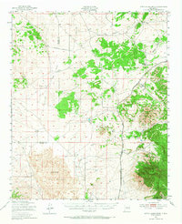
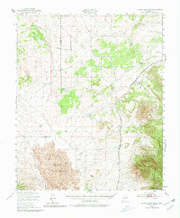
The Malpais lava flow dominates the southern portion of this mid-century New Mexico landscape, centered on the volcanic landmark of Little Black Peak. The terrain is characterized by the stark contrast between the igneous expanse of Lava beds and the surrounding canyon systems, including Largo Canyon and Coyote Canyon. Infrastructure of the era is represented by the Southern Pacific railroad corridor, which follows the eastern edge of the volcanic field, passing through the small siding of Cooper. To the southeast, the geography rises into the high country of the Lincoln National Forest, where prominent summits like Lone Mountain and Baxter Mountain overlook the Ancho Valley. The presence of the Socorro Co Lincoln Co boundary line demonstrates the remote nature of this high-desert region during the early 1950s.
Find a feature on this map
14 named features on this map. Tap any name to fly to it.
Don’t see what you’re looking for? This feature index may not catch every label — zoom into the map to look around manually.
Map Details
Editions of this 1950 Little Black Peak Map
3 editions found
Other maps of this area

1918 · Oscura Peak
USGS Topo · 1:125,000

1934 · Capitan
USGS Topo · 1:48,000

1937 · Capitan
USGS Topo · 1:62,500

1938 · Carrizozo
USGS Topo · 1:48,000

1943 · Carrizozo
USGS Topo · 1:62,500

1948 · Broken Back Crater
USGS Topo · 1:62,500

1948 · Chihuahua Ranch
USGS Topo · 1:62,500

1950 · Carrizozo
USGS Topo · 1:62,500

1954 · Tularosa
USGS Topo · 1:250,000

1954 · Fort Sumner
USGS Topo · 1:250,000