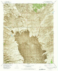
1981 Map of Little Black Peak
USGS Topo · Published 1981About this map
The Malpais dominates this 1980s orthophotomap, where ancient volcanic activity is starkly preserved in the dark, textured expanse of lava flows. Rising from the center of this field is the namesake Little Black Peak, a prominent landmark within the Tularosa Basin landscape. The map reveals the vital importance of water management in this arid environment, marked by a system of named windmills and stock tanks such as Malpais Windmill, Red Lake Windmill, and Billy Bob Tank. Human presence is further established by working ranchlands, including the Gaidher Ranch and Brock Ranch, which are connected by primitive transportation routes like Iron Mine Road. This hybrid orthophoto provides a unique visual of the transition between the basin floor and the surrounding high desert terrain near the Socorro and Lincoln County line.
Find a feature on this map
34 named features on this map. Tap any name to fly to it.
Don’t see what you’re looking for? This feature index may not catch every label — zoom into the map to look around manually.
Map Details
Editions of this 1981 Little Black Peak Map
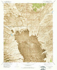
2 editions found
Other maps of this area

1918 · Oscura Peak
USGS Topo · 1:125,000

1938 · Carrizozo
USGS Topo · 1:48,000

1943 · Carrizozo
USGS Topo · 1:62,500

1948 · Broken Back Crater
USGS Topo · 1:62,500

1948 · Chihuahua Ranch
USGS Topo · 1:62,500

1950 · Carrizozo
USGS Topo · 1:62,500

1950 · Little Black Peak
USGS Topo · 1:62,500

1954 · Tularosa
USGS Topo · 1:250,000

1955 · Roswell
USGS Topo · 1:250,000

1958 · Roswell
USGS Topo · 1:250,000