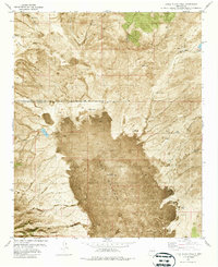
1981 Map of Little Black Peak
USGS Topo · Published 1987About this map
The Malpais dominates this arid landscape, where ancient volcanic flows create a sharp contrast against the surrounding high desert terrain. Centered on the cinder cone of Little Black Peak, the map documents a rugged environment where water management is the primary marker of human presence. Dozens of isolated tanks and windmills, such as Billy Bob Tank, Ashbey Tank, and the Malpais Windmill, provide essential water sources for cattle across this expanse of lava beds and canyons.
Find a feature on this map
28 named features on this map. Tap any name to fly to it.
Don’t see what you’re looking for? This feature index may not catch every label — zoom into the map to look around manually.
Map Details
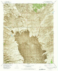
Editions of this 1981 Little Black Peak Map
2 editions found
Other maps of this area

1918 · Oscura Peak
USGS Topo · 1:125,000

1938 · Carrizozo
USGS Topo · 1:48,000

1943 · Carrizozo
USGS Topo · 1:62,500

1948 · Broken Back Crater
USGS Topo · 1:62,500

1948 · Chihuahua Ranch
USGS Topo · 1:62,500

1950 · Carrizozo
USGS Topo · 1:62,500

1950 · Little Black Peak
USGS Topo · 1:62,500

1954 · Tularosa
USGS Topo · 1:250,000

1955 · Roswell
USGS Topo · 1:250,000

1958 · Roswell
USGS Topo · 1:250,000