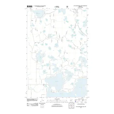
2011 Map of Little Bowstring Lake
USGS Topo · Published 2011About this map
Suomi serves as the primary settlement in this lake-dominated landscape of northern Minnesota. This 2011 survey illustrates a region defined by an intricate network of waterways and glacial depressions, ranging from the large expanse of Little Bowstring Lake in the northwest to the complex shoreline of Moose Lake and Little Moose Lake further south. The map provides essential detail for local historians, identifying the Suomi Cemetery and the Day Lake Lookout Tower, a site once critical for fire detection in the surrounding timberlands.
Find a feature on this map
77 named features on this map. Tap any name to fly to it.
Don’t see what you’re looking for? This feature index may not catch every label — zoom into the map to look around manually.
Map Details
Editions of this 2011 Little Bowstring Lake Map
This is the sole edition of this map. No revisions or reprints were ever made.
Other maps of this area

1919 · Marcell
USGS Topo · 1:62,500

1953 · Cohasset East
USGS Topo · 1:24,000

1953 · Cohasset West
USGS Topo · 1:24,000

1954 · Hibbing
USGS Topo · 1:250,000

1957 · Hibbing
USGS Topo · 1:250,000

1958 · Hibbing
USGS Topo · 1:250,000

1964 · Hibbing
USGS Topo · 1:250,000

1970 · Deer River NE
USGS Topo · 1:24,000

1970 · Wabana Lake
USGS Topo · 1:24,000

1970 · Clubhouse Lake
USGS Topo · 1:24,000