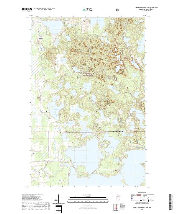
2022 Map of Little Bowstring Lake
USGS Topo · Published 2022About this map
The settlement of Suomi stands as a focal point in this portion of the Chippewa National Forest during the early 21st century. The landscape is defined by an intricate network of water, with the Bowstring River flowing out of Little Bowstring Lake in the northwest, while the expansive Moose Lake dominates the southern reaches. This area in Itasca County demonstrates the heavy influence of outdoor recreation and forest management, with a complex system of local routes such as Co Hwy 48 and Woodland Dr providing access to numerous isolated water bodies including Cottonwood Lake, Island Lake, and Fawn Lake. The presence of the Suomi Snowmobile Trl and the Sherwood Forest Trl indicates a modern landscape heavily utilized for seasonal navigation through the dense woodlands and wetlands that characterize this northern Minnesota terrain.
Find a feature on this map
91 named features on this map. Tap any name to fly to it.
Don’t see what you’re looking for? This feature index may not catch every label — zoom into the map to look around manually.
Map Details
Editions of this 2022 Little Bowstring Lake Map
This is the sole edition of this map. No revisions or reprints were ever made.
Other maps of this area

1919 · Marcell
USGS Topo · 1:62,500

1953 · Cohasset East
USGS Topo · 1:24,000

1953 · Cohasset West
USGS Topo · 1:24,000

1954 · Hibbing
USGS Topo · 1:250,000

1957 · Hibbing
USGS Topo · 1:250,000

1958 · Hibbing
USGS Topo · 1:250,000

1964 · Hibbing
USGS Topo · 1:250,000

1970 · Deer River NE
USGS Topo · 1:24,000

1970 · Wabana Lake
USGS Topo · 1:24,000

1970 · Clubhouse Lake
USGS Topo · 1:24,000