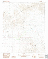
1988 Map of Little Chuckwalla Mountains
USGS Topo · Published 1988About this map
The Little Chuckwalla Mountains dominate this arid landscape at the border of Riverside and Imperial counties. This late-twentieth-century survey reveals a region defined by its geological interest and rugged accessibility, notably featuring the Geode Beds tucked within the southern reaches of the range. The terrain transitions into the Black Hills toward the southeast, where the presence of numerous prospects and a singular prospect indicates a history of mineral exploration and small-scale mining activity.
Find a feature on this map
10 named features on this map. Tap any name to fly to it.
Don’t see what you’re looking for? This feature index may not catch every label — zoom into the map to look around manually.
Map Details
Editions of this 1988 Little Chuckwalla Mountains Map
3 editions found
Other maps of this area

1942 · Blythe
USGS Topo · 1:250,000

1952 · Mc Coy Spring
USGS Topo · 1:62,500

1952 · Sidewinder Well
USGS Topo · 1:62,500

1953 · Palo Verde Mountains
USGS Topo · 1:62,500

1953 · Chuckwalla Spring
USGS Topo · 1:62,500

1954 · Salton Sea
USGS Topo · 1:250,000

1955 · Salton Sea
USGS Topo · 1:250,000

1959 · Salton Sea
USGS Topo · 1:250,000

1963 · Salton Sea
USGS Topo · 1:250,000

1965 · Salton Sea
USGS Topo · 1:250,000