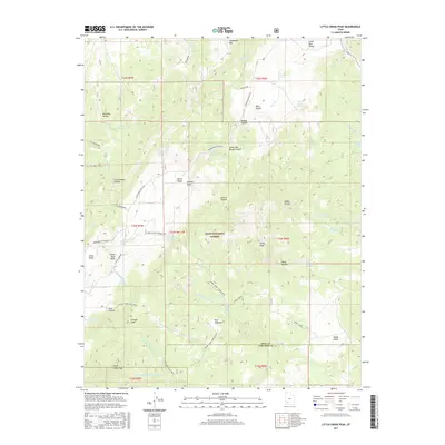
2017 Map of Little Creek Peak
USGS Topo · Published 2017About this map
Dixie National Forest dominates this high-altitude landscape on the eastern edge of the Markagunt Plateau. The terrain is defined by a complex network of canyons and swales, including Cottonwood Canyon, Ashton Canyon, and the Middle Canyon, which drain into various forks of Sandy Creek and Bear Cr. Evidence of seasonal grazing and water management is scattered throughout the region, with numerous named water sources like Rock Quarry Spring, Navajo Spring, and Watercress Spring supporting the livestock economy of the high desert.
Find a feature on this map
61 named features on this map. Tap any name to fly to it.
Don’t see what you’re looking for? This feature index may not catch every label — zoom into the map to look around manually.
Map Details
Editions of this 2017 Little Creek Peak Map
This is the sole edition of this map. No revisions or reprints were ever made.
Other maps of this area

1885 · Beaver
USGS Topo · 1:250,000

1886 · Kanab
USGS Topo · 1:250,000

1953 · Richfield
USGS Topo · 1:250,000

1953 · Cedar City
USGS Topo · 1:250,000

1958 · Richfield
USGS Topo · 1:250,000

1958 · Cedar City
USGS Topo · 1:250,000

1962 · Cedar City
USGS Topo · 1:250,000

1966 · Fremont Pass
USGS Topo · 1:24,000

1966 · Panguitch NW
USGS Topo · 1:24,000

1971 · Buckhorn Flat
USGS Topo · 1:24,000