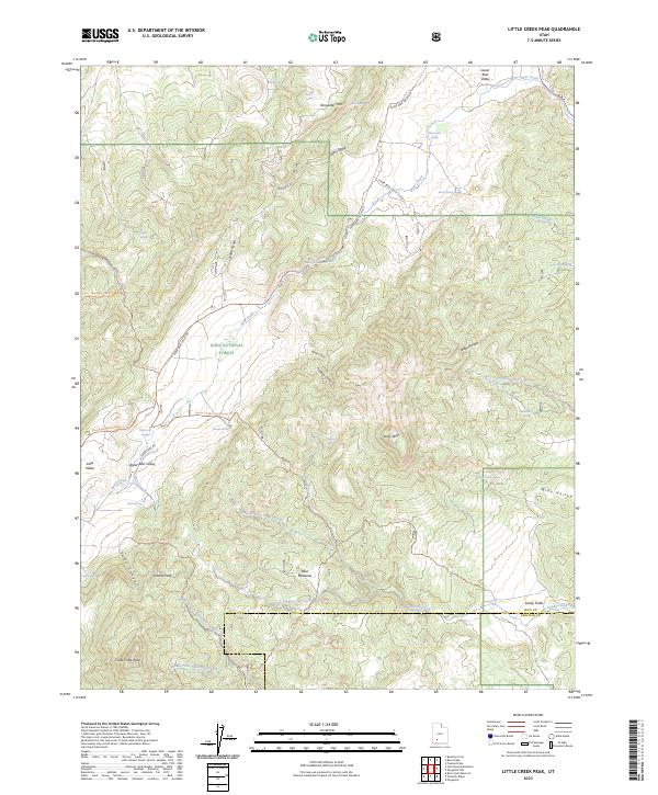
2023 Map of Little Creek Peak
USGS Topo · Published 2023About this map
Dixie National Forest defines this high-elevation landscape along the border of Iron and Garfield counties. The terrain is a complex network of ridges and drainages, anchored by the prominent Little Creek Peak and Showalter Mtn. Water sources are densely concentrated throughout the area, including Blue Meadows, Sandy Fields, and numerous named springs such as Wildcat Spring, Navajo Spring, and Holly Oak Spring.
Find a feature on this map
54 named features on this map. Tap any name to fly to it.
Don’t see what you’re looking for? This feature index may not catch every label — zoom into the map to look around manually.
Map Details
Editions of this 2023 Little Creek Peak Map
This is the sole edition of this map. No revisions or reprints were ever made.
Other maps of this area

1885 · Beaver
USGS Topo · 1:250,000

1886 · Kanab
USGS Topo · 1:250,000

1953 · Richfield
USGS Topo · 1:250,000

1953 · Cedar City
USGS Topo · 1:250,000

1958 · Richfield
USGS Topo · 1:250,000

1958 · Cedar City
USGS Topo · 1:250,000

1962 · Cedar City
USGS Topo · 1:250,000

1966 · Fremont Pass
USGS Topo · 1:24,000

1966 · Panguitch NW
USGS Topo · 1:24,000

1971 · Buckhorn Flat
USGS Topo · 1:24,000