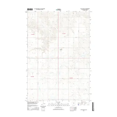
2015 Map of Little Eagle SE
USGS Topo · Published 2015About this map
Runaround Butte rises above the open prairie of Corson Co. in this 2015 survey, serving as a prominent landmark in the north-central South Dakota landscape. The terrain is defined by the winding drainages of Little Oak Cr and Deep Bank Cr, which carve subtle valleys through the high plains. The map reflects the organized grid of the Public Land Survey System, specifically within townships t19n r26e and t19n r27e, where sections are clearly delineated for agricultural and land management purposes.
Find a feature on this map
17 named features on this map. Tap any name to fly to it.
Don’t see what you’re looking for? This feature index may not catch every label — zoom into the map to look around manually.
Map Details
Editions of this 2015 Little Eagle SE Map
This is the sole edition of this map. No revisions or reprints were ever made.
Other maps of this area

1953 · McIntosh
USGS Topo · 1:250,000

1956 · Little Eagle SW
USGS Topo · 1:24,000

1956 · Wakpala NW
USGS Topo · 1:24,000

1956 · Little Eagle
USGS Topo · 1:24,000

1956 · Little Eagle SE
USGS Topo · 1:24,000

1956 · Little Eagle NW
USGS Topo · 1:24,000

1956 · Wakpala SW
USGS Topo · 1:24,000

1958 · McIntosh
USGS Topo · 1:250,000

1975 · Glencross
USGS Topo · 1:24,000

1975 · Trail City
USGS Topo · 1:24,000