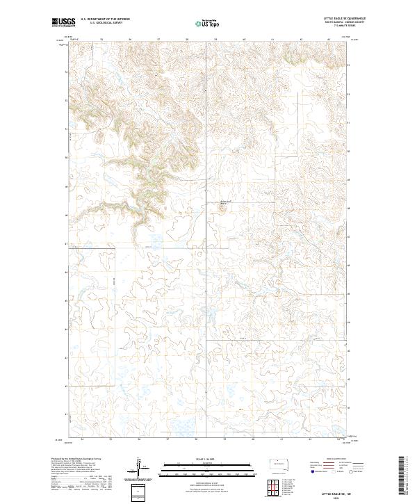
2021 Map of Little Eagle SE
USGS Topo · Published 2021About this map
Runaround Butte rises as a prominent landmark in this prairie landscape of Corson County, serving as a focal point for the surrounding cattle country. The drainage patterns of Little Oak Creek and Deep Bank Creek carve intricate coulees through the high plains, illustrating the hydrologic character of the Standing Rock region. This survey documents the intersection of essential rural infrastructure, where routes like 127th St and 261st Ave provide the primary access to the sectioned rangelands. The map provides a precise look at the land division under the Public Land Survey System, specifically within t19n r27e and surrounding townships, capturing the modern layout of this sparsely settled territory.
Find a feature on this map
13 named features on this map. Tap any name to fly to it.
Don’t see what you’re looking for? This feature index may not catch every label — zoom into the map to look around manually.
Map Details
Editions of this 2021 Little Eagle SE Map
This is the sole edition of this map. No revisions or reprints were ever made.
Other maps of this area

1953 · McIntosh
USGS Topo · 1:250,000

1956 · Little Eagle SW
USGS Topo · 1:24,000

1956 · Wakpala NW
USGS Topo · 1:24,000

1956 · Little Eagle
USGS Topo · 1:24,000

1956 · Little Eagle SE
USGS Topo · 1:24,000

1956 · Little Eagle NW
USGS Topo · 1:24,000

1956 · Wakpala SW
USGS Topo · 1:24,000

1958 · McIntosh
USGS Topo · 1:250,000

1975 · Glencross
USGS Topo · 1:24,000

1975 · Trail City
USGS Topo · 1:24,000