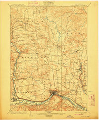
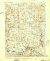
1903 Map of Little Falls
USGS Topo · Published 1911About this map
The industrial corridor of the Mohawk River dominates the southern portion of this landscape, where the heavy traffic of the Erie Canal and multiple competing rail lines converge. The topography of Little Falls reflects a period of intense development, showing the city's complex interface with the river’s narrow gorge and the nearby Herkimer Monument. North of the river, the terrain rises into the foothills, where smaller manufacturing hamlets like Dolgeville and Ingham Mills sit along active waterways like Spruce Creek. This era reveals a transition from the agricultural uplands of Norway and Fairfield to the concentrated power and transport infrastructure of the valley floor. Genealogists can locate specific local landmarks such as the County House near Middleville and the various stations of the Dolgeville and Little Falls R. R. that connected these interior settlements to the main line.
Find a feature on this map
55 named features on this map. Tap any name to fly to it.
Don’t see what you’re looking for? This feature index may not catch every label — zoom into the map to look around manually.
Map Details
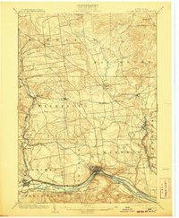
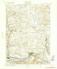
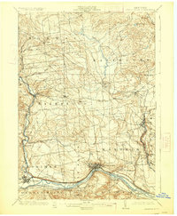
Editions of this 1903 Little Falls Map
6 editions found

Other maps of this area

1897 · Remsen
USGS Topo · 1:62,500

1898 · Utica
USGS Topo · 1:62,500

1898 · Canajoharie
USGS Topo · 1:62,500

1900 · Little Falls
USGS Topo · 1:62,500

1900 · Utica
USGS Topo · 1:62,500

1900 · Canajoharie
USGS Topo · 1:62,500

1900 · Remsen
USGS Topo · 1:62,500

1900 · Wilmurt
USGS Topo · 1:62,500

1901 · Lassellsville
USGS Topo · 1:62,500

1902 · Canajoharie
USGS Topo · 1:62,500