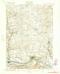
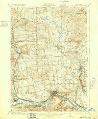
1903 Map of Little Falls
USGS Topo · Published 1921About this map
Little Falls and Herkimer serve as the primary industrial and transit hubs along the narrow Mohawk Valley corridor at the turn of the century. This landscape is defined by the dense concentration of transportation infrastructure, where the Erie Canal and Barge Canal parallel the Mohawk River alongside the New York Central and Hudson River and West Shore railroads. The topography rises sharply from the river flats toward the northern highlands of Salisbury and Norway, revealing a transition from heavy riverfront industry to upland dairy farming and timbered hills like Dairy Hill and The Pinnacle. To the east, East Canada Creek powers the mills of Dolgeville and Higham Mills, while smaller rural settlements like Eatonville and Manheim Center dot the interior hills. The presence of the Herkimer Monument and the historic settlement at Indian Castle anchoring the southeastern corner reflects the deep-rooted colonial and revolutionary history of the valley.
Find a feature on this map
52 named features on this map. Tap any name to fly to it.
Don’t see what you’re looking for? This feature index may not catch every label — zoom into the map to look around manually.
Map Details
Editions of this 1903 Little Falls Map
6 editions found

Other maps of this area

1897 · Remsen
USGS Topo · 1:62,500

1898 · Utica
USGS Topo · 1:62,500

1898 · Canajoharie
USGS Topo · 1:62,500

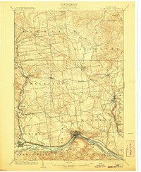
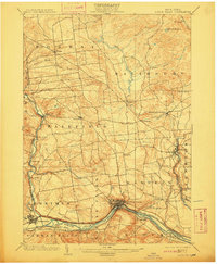
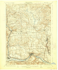
1900 · Little Falls
USGS Topo · 1:62,500

1900 · Utica
USGS Topo · 1:62,500

1900 · Canajoharie
USGS Topo · 1:62,500

1900 · Remsen
USGS Topo · 1:62,500

1900 · Wilmurt
USGS Topo · 1:62,500

1901 · Lassellsville
USGS Topo · 1:62,500

1902 · Canajoharie
USGS Topo · 1:62,500