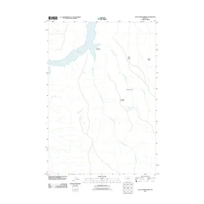
2011 Map of Little Finger Ridge
USGS Topo · Published 2011About this map
Bighorn Lake dominates the northwest corner of this Carbon County landscape, where the reservoir meets the dramatic entry of Little Bull Elk Canyon. The terrain is defined by a series of high ridges and deep drainage systems that have likely dictated movement through this part of Montana for generations. Prominent landmarks such as Little Finger Ridge and Middle Ridge flank the eastern portions of the map, overlooking the winding paths of Little Bull Elk Creek and Big Bull Elk Creek.
Find a feature on this map
11 named features on this map. Tap any name to fly to it.
Don’t see what you’re looking for? This feature index may not catch every label — zoom into the map to look around manually.
Map Details
Editions of this 2011 Little Finger Ridge Map
This is the sole edition of this map. No revisions or reprints were ever made.
Other maps of this area

1894 · St. Xavier
USGS Topo · 1:125,000

1901 · St. Xavier
USGS Topo · 1:125,000

1954 · Billings
USGS Topo · 1:250,000

1954 · Hardin
USGS Topo · 1:250,000

1957 · Hardin
USGS Topo · 1:250,000

1957 · Billings
USGS Topo · 1:250,000

1958 · Billings
USGS Topo · 1:250,000

1958 · Hardin
USGS Topo · 1:250,000

1964 · Two Point
USGS Topo · 1:24,000

1964 · Peyote Point
USGS Topo · 1:24,000