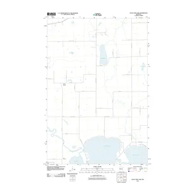
2010 Map of Little Pine Lake
USGS Topo · Published 2010About this map
Little Pine Lake and Big Pine Lake dominate the southern portion of this landscape, linked by the winding path of the Otter Tail River. The area is defined by a dense network of township roads and county highways that serve the rural homesteads of Otter Tail County. Local history is anchored by the Gorman Township Cemetery and the Bauck Cemetery, which provide vital points of reference for genealogical research in this lakeside community.
Find a feature on this map
41 named features on this map. Tap any name to fly to it.
Don’t see what you’re looking for? This feature index may not catch every label — zoom into the map to look around manually.
Map Details
Editions of this 2010 Little Pine Lake Map
This is the sole edition of this map. No revisions or reprints were ever made.
Other maps of this area

1915 · Perham
USGS Topo · 1:62,500

1953 · Brainerd
USGS Topo · 1:250,000

1957 · Brainerd
USGS Topo · 1:250,000

1958 · Brainerd
USGS Topo · 1:250,000

1959 · Toad Mountain
USGS Topo · 1:24,000

1959 · Rochert
USGS Topo · 1:24,000

1965 · Brainerd
USGS Topo · 1:250,000

1969 · Evergreen
USGS Topo · 1:24,000

1969 · New York Mills NW
USGS Topo · 1:24,000

1969 · New York Mills West
USGS Topo · 1:24,000