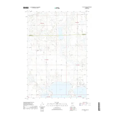
2019 Map of Little Pine Lake
USGS Topo · Published 2019About this map
Little Pine Lake and Big Pine Lake dominate the southern landscape of this 2019 survey, where the glacial geography of Otter Tail County is on full display. The northern half of the sheet is defined by a dense network of wetlands and smaller water bodies, including Dead Lake, Stein Lake, and Indian Lake, connected by the meandering course of the Toad River. The Otter Tail River enters from the west, feeding into the larger lake system near Junction 60. For those researching local family history, the map preserves the locations of the Gorman Township Cem in the northwest and Bauck Cem near the southern shore of the main lake. The road network, including Co Hwy 60 and Co Hwy 8, follows the section lines of the Public Land Survey System, illustrating how modern infrastructure remains tethered to the original township and range divisions of the nineteenth century.
Find a feature on this map
43 named features on this map. Tap any name to fly to it.
Don’t see what you’re looking for? This feature index may not catch every label — zoom into the map to look around manually.
Map Details
Editions of this 2019 Little Pine Lake Map
This is the sole edition of this map. No revisions or reprints were ever made.
Other maps of this area

1915 · Perham
USGS Topo · 1:62,500

1953 · Brainerd
USGS Topo · 1:250,000

1957 · Brainerd
USGS Topo · 1:250,000

1958 · Brainerd
USGS Topo · 1:250,000

1959 · Toad Mountain
USGS Topo · 1:24,000

1959 · Rochert
USGS Topo · 1:24,000

1965 · Brainerd
USGS Topo · 1:250,000

1969 · Evergreen
USGS Topo · 1:24,000

1969 · New York Mills NW
USGS Topo · 1:24,000

1969 · New York Mills West
USGS Topo · 1:24,000