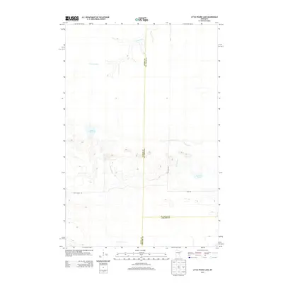
2013 Map of Little Prairie Lake
USGS Topo · Published 2013About this map
The E Savanna River and Prairie River define the hydraulic character of this northern Minnesota landscape, where the borders of Aitkin, St. Louis, and Carlton counties meet. This 2013 survey captures a region primarily shaped by wetlands and glacial lakes, including Little Prairie Lake and Roosevelt Lake. The drainage patterns suggest a low-relief basin where the rivers meander extensively through marshes, a typical feature of this part of Beseman Township. Local travel is facilitated by a sparse network of rural routes such as Basalm Forest Rd, Graff Rd, and Rasmussen Rd. These roads provide the primary access to the isolated lakefronts and forested tracts that characterize the area's modern land use.
Find a feature on this map
10 named features on this map. Tap any name to fly to it.
Don’t see what you’re looking for? This feature index may not catch every label — zoom into the map to look around manually.
Map Details
Editions of this 2013 Little Prairie Lake Map
This is the sole edition of this map. No revisions or reprints were ever made.
Other maps of this area

1953 · Duluth
USGS Topo · 1:250,000

1958 · Duluth
USGS Topo · 1:250,000

1961 · Cromwell
USGS Topo · 1:62,500

1963 · Prairie Lake
USGS Topo · 1:24,000
1963 · Floodwood
USGS Topo · 1:24,000

1969 · Island
USGS Topo · 1:24,000

1970 · Tamarack
USGS Topo · 1:24,000

1970 · Little Prairie Lake
USGS Topo · 1:24,000
1970 · Vanduse Lake
USGS Topo · 1:24,000

1970 · Balsam
USGS Topo · 1:24,000