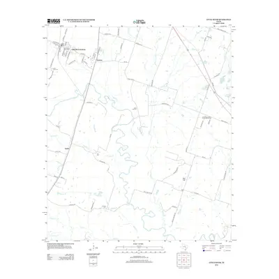
2012 Map of Little River
USGS Topo · Published 2012About this map
Little River-Academy serves as the primary hub of this Central Texas landscape, where the confluence of small-town life and rural ranch land is defined by the winding course of the Little River. The map captures the distinct residential clusters of Little River, Academy, and Sparks, linked by a network of county roads and state routes like Old Hwy 95.
Find a feature on this map
77 named features on this map. Tap any name to fly to it.
Don’t see what you’re looking for? This feature index may not catch every label — zoom into the map to look around manually.
Map Details
Editions of this 2012 Little River Map
This is the sole edition of this map. No revisions or reprints were ever made.
Other maps of this area

1885 · Taylor
USGS Topo · 1:125,000

1887 · Taylor
USGS Topo · 1:125,000

1892 · Temple
USGS Topo · 1:125,000

1894 · Taylor
USGS Topo · 1:125,000

1910 · Buckholts
USGS Topo · 1:24,000

1912 · Buckholts
USGS Topo · 1:31,680

1924 · Temple 3-C
USGS Topo · 1:48,000

1931 · Belton
USGS Topo · 1:62,500

1954 · Waco
USGS Topo · 1:250,000

1954 · Austin
USGS Topo · 1:250,000
Featured Places
- Little River-Academy, TX
- Sparks, TX
- Joe Lee, TX
- Little River, Little River-Academy
- Academy, Little River-Academy