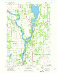
1974 Map of Little Rock Lake
USGS Topo · Published 1976About this map
The Mississippi River carves a winding path through the center of this 1970s landscape, serving as the county line between Stearns and Benton. To the north, the expansive Little Rock Lake dominates the terrain, fed by Little Rock Creek and Sucker Creek. This area shows a blend of established riverfront communities like Sartell and Rice, connected by the Burlington Northern railroad corridor.
Find a feature on this map
30 named features on this map. Tap any name to fly to it.
Don’t see what you’re looking for? This feature index may not catch every label — zoom into the map to look around manually.
Map Details
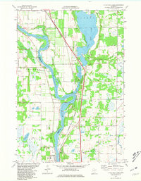
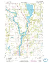
Editions of this 1974 Little Rock Lake Map
3 editions found
Other maps of this area

1948 · Pierz
USGS Topo · 1:62,500

1948 · Little Falls
USGS Topo · 1:62,500

1950 · Little Falls
USGS Topo · 1:62,500

1950 · Pierz
USGS Topo · 1:62,500

1950 · St. Cloud
USGS Topo · 1:62,500

1953 · Saint Cloud
USGS Topo · 1:250,000

1957 · Saint Cloud
USGS Topo · 1:250,000

1958 · Saint Cloud
USGS Topo · 1:250,000

1965 · St Stephen
USGS Topo · 1:24,000

1965 · St Joseph
USGS Topo · 1:24,000