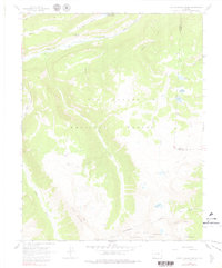
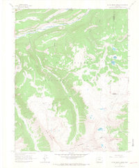
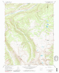
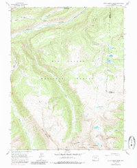
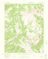
1964 Map of Little Squaw Creek
USGS Topo · Published 1979About this map
The high San Juan Mountains are defined here by the Continental Divide, where the waters of the Rio Grande and its high-altitude tributaries begin their journey across the southwest. Mapping from the early 1960s highlights a landscape of remote trails and seasonal utility, centered on the boundary between the Rio Grande National Forest and San Juan National Forest. While modern infrastructure is sparse, the map documents established movement patterns via the Stock Driveway and numerous Pack Trails that traverse the ridges between peaks like Chief Mountain and the prominent Knife Edge.
Find a feature on this map
30 named features on this map. Tap any name to fly to it.
Don’t see what you’re looking for? This feature index may not catch every label — zoom into the map to look around manually.
Map Details
Editions of this 1964 Little Squaw Creek Map
5 editions found
Other maps of this area

1905 · San Cristobal
USGS Topo · 1:125,000

1907 · San Cristobal
USGS Topo · 1:125,000

1945 · Durango
USGS Topo · 1:250,000

1953 · Durango
USGS Topo · 1:250,000

1954 · Durango
USGS Topo · 1:250,000
1959 · Bristol Head
USGS Topo · 1:62,500

1961 · Durango
USGS Topo · 1:250,000

1963 · Durango
USGS Topo · 1:250,000
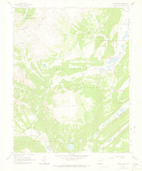
1964 · Finger Mesa
USGS Topo · 1:24,000
1964 · Little Squaw Creek
USGS Topo · 1:24,000