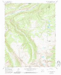
1964 Map of Little Squaw Creek
USGS Topo · Published 1985About this map
The high alpine headwaters of the Rio Grande dominate this high-altitude landscape in the mid-1960s, where the river carves through Box Canyon and Road Canyon Reservoir No 2. This survey illustrates a backcountry defined by significant hydrologic and elevation markers, including the jagged Knife Edge and the sweeping Continental Divide that separates the Rio Grande National Forest from the San Juan National Forest. A network of high mountain lakes and reservoirs, such as Trout Lake, Ruby Lake, and Fuchs Reservoir, are connected by a system of historical transit routes including the Stock Driveway and various Pack Trails. Notable landmarks like Chief Mountain and River Hill provided essential orientation for early 20th-century travel through the San Juan Mountains, while the River Hill Campground highlights the area's established role for outdoor recreation during the post-war era.
Find a feature on this map
32 named features on this map. Tap any name to fly to it.
Don’t see what you’re looking for? This feature index may not catch every label — zoom into the map to look around manually.
Map Details
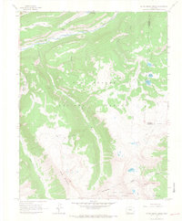
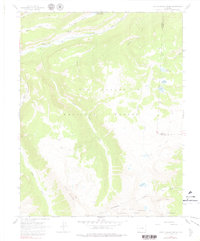
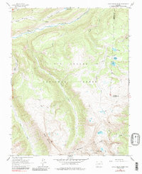
Editions of this 1964 Little Squaw Creek Map
5 editions found
Other maps of this area

1905 · San Cristobal
USGS Topo · 1:125,000

1907 · San Cristobal
USGS Topo · 1:125,000

1945 · Durango
USGS Topo · 1:250,000

1953 · Durango
USGS Topo · 1:250,000

1954 · Durango
USGS Topo · 1:250,000

1959 · Bristol Head
USGS Topo · 1:62,500

1961 · Durango
USGS Topo · 1:250,000

1963 · Durango
USGS Topo · 1:250,000
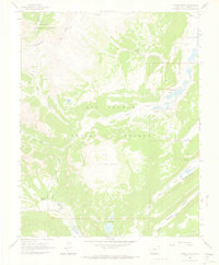
1964 · Finger Mesa
USGS Topo · 1:24,000
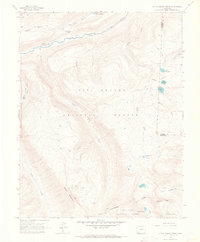
1964 · Little Squaw Creek
USGS Topo · 1:24,000