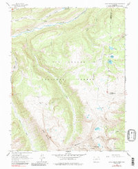
1964 Map of Little Squaw Creek
USGS Topo · Published 1985About this map
The Continental Divide winds through the high alpine terrain of the San Juan Mountains in this mid-1960s survey of Hinsdale and Mineral counties. The landscape is defined by the sharp descent from peaks like Chief Mountain and the Knife Edge toward the Rio Grande valley in the north. This area serves as a critical watershed for high-altitude reservoirs and lakes, including Road Canyon Reservoir No 2, Fuchs Reservoir 11260, and Trout Lake 11685. The map documents a network of primitive access routes essential for livestock management and backcountry travel, such as the Stock Driveway and various Pack Trails that cross Little Squaw Creek and Texas Creek. Established recreational use is noted at the River Hill Campground, reflecting the land's dual role within the Rio Grande National Forest and San Juan National Forest.
Find a feature on this map
30 named features on this map. Tap any name to fly to it.
Don’t see what you’re looking for? This feature index may not catch every label — zoom into the map to look around manually.
Map Details
Editions of this 1964 Little Squaw Creek Map
5 editions found
Other maps of this area

1905 · San Cristobal
USGS Topo · 1:125,000

1907 · San Cristobal
USGS Topo · 1:125,000

1945 · Durango
USGS Topo · 1:250,000

1953 · Durango
USGS Topo · 1:250,000

1954 · Durango
USGS Topo · 1:250,000

1959 · Bristol Head
USGS Topo · 1:62,500

1961 · Durango
USGS Topo · 1:250,000

1963 · Durango
USGS Topo · 1:250,000
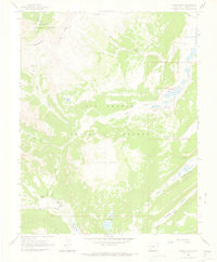
1964 · Finger Mesa
USGS Topo · 1:24,000
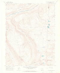
1964 · Little Squaw Creek
USGS Topo · 1:24,000