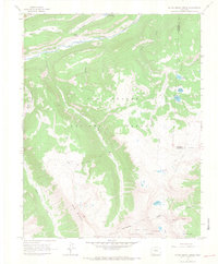
1964 Map of Little Squaw Creek
USGS Topo · Published 1967About this map
Rio Grande headwaters dominate this high-country landscape, flowing through a canyoned valley near River Hill and the River Hill Campground. This 1964 field-checked survey captures the intricate hydrology of the Continental Divide, where Little Squaw Creek and Squaw Creek carve steep paths toward the river. The map details a remote network of alpine resource management, featuring the Fuchs Reservoir and numerous high-altitude basins like Ruby Lake and Red Lakes.
Find a feature on this map
28 named features on this map. Tap any name to fly to it.
Don’t see what you’re looking for? This feature index may not catch every label — zoom into the map to look around manually.
Map Details
Editions of this 1964 Little Squaw Creek Map
5 editions found
Other maps of this area

1905 · San Cristobal
USGS Topo · 1:125,000

1907 · San Cristobal
USGS Topo · 1:125,000

1945 · Durango
USGS Topo · 1:250,000

1953 · Durango
USGS Topo · 1:250,000

1954 · Durango
USGS Topo · 1:250,000

1959 · Bristol Head
USGS Topo · 1:62,500

1961 · Durango
USGS Topo · 1:250,000

1963 · Durango
USGS Topo · 1:250,000
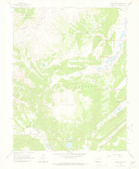
1964 · Finger Mesa
USGS Topo · 1:24,000
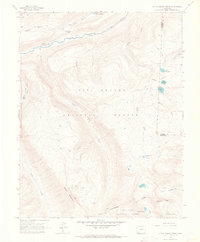
1964 · Little Squaw Creek
USGS Topo · 1:24,000